Spherical Panoramas allow the viewer to look in any direction, as if one were standing in the center of a sphere. The Spherical Panorama does away with the photographer's single framed point of view. You are free to explore every angle and to inspect any detail of the image by zooming in and around the total sphere.
You can also view these images within Google Earth or at 360Cities see the links at the bottom of this page.
You will require a viewer to see the images, if you don't have one installed already (there are several available free) then the system will offer you a link. If you prefer to manually control the viewer selection then please make your choice below.
Select viewer:
If you would like to know more about the methods used to create these images then the following sites will guide you PanoTools
Wiki and the PanoTools mailing list.
The equipment used for photography is described here.
To view the panoramas click the thumbnail images below.

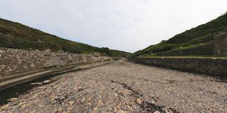
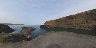 The result of quarrying and then opening the quarry to the sea.
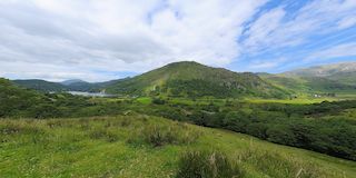
 A view down thru the valley to the SW
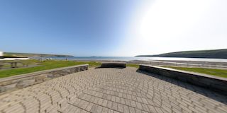
 This harbour looks out to St. Brides Bay
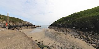
 A small rocky inlet South of St. Davids run by the National Trust.
 A nice bay just below the Blue Lagoon
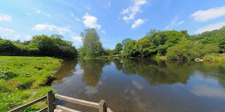
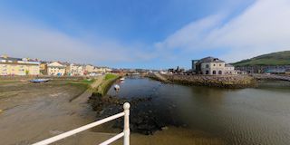
 The river Alun feeds the harbour.
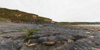
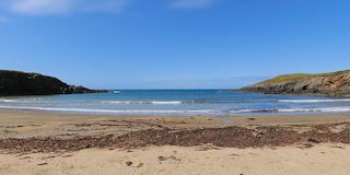
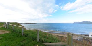
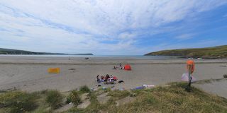 Came across this rather nice beach by chance one afternoon.
 Cenarth is a charming little community straddling the river Teifi, the National Coracle Centre is just upstream.
 Cenarth is a charming little community straddling the river Teifi, just upstream is the National Coracle centre.
 From on top of the local surf school roof ( and the beach Loos!)
 Another picturesque beach on the coast of Anglesy.
 The village Aberffraw behind the river Afon Ffraw and its bridge.
 Whilst touring around Anglesy we came across this rather nice bridge over the river Afron Ffraw
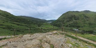 Further up the road to Capel Curig is this location giving a wider view of the entire valley.
 The lake is visible from Capel Curig road down to Beddgelert
 We never had time to explore the town, but we did admire the view whilst having a cup of tea.
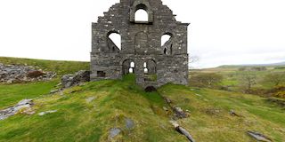
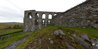 The slate mill from the South.
 From the East side ..
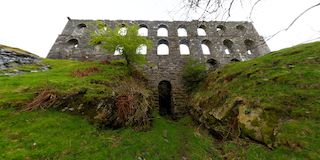 The Slate mill from the North showing the outlet of the stream used to power the mill.
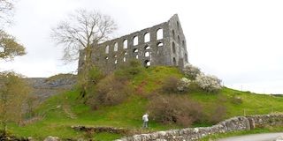 This slate mill was constructed 1856 but only lasted 1871 when it went out of business due to poor quality slate.
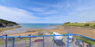
 Just outside the community are a couple of Car Parks with steps down to the beach (Steep!) and great views across the bay.
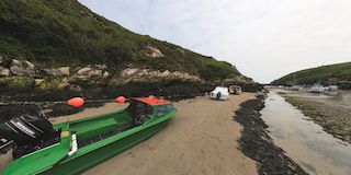
 Close to the waters edge the fishing boats seem to have seen better days but look sound.
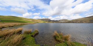
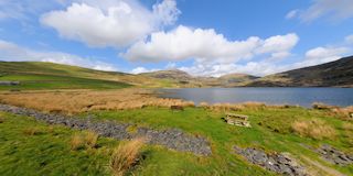 This lake is a fishing site and also feeds water to the Porthmadog area.
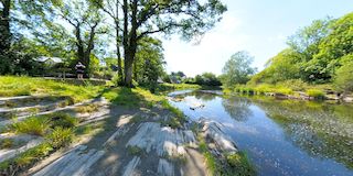
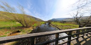 A walk out from the Bryn Gloch campsite leads over the river.
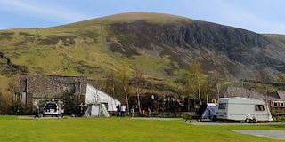 The April 2011 Bongo meet at the Bryn Gloch campsite
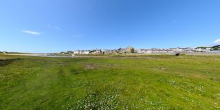
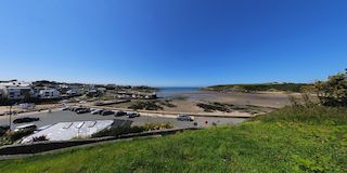
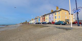
 The beach and promenade with the ferry poijt to the islands.
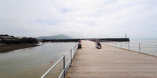 From the North harbour arm, both the outer arms can be seen. Out to sea the small dots are body surfers!
 From the beach opposite Quay Rd., the New Promenade with the castle and ruins in the distance.
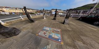 Half way along the New Promenade is this monument to the RNLI, the Lifeboat Station is a little further along.
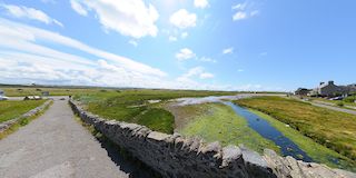
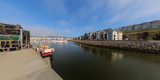
 Down beyond the marina, is the tidal inner harbour and the bridge in the town center.
 This arm of the harbour houses the fishing boats, in the distance is the marina.


